
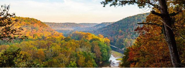
Beyond the Bluegrass
Archived
This content is available here for research, reference, and/or recordkeeping.
Preview
Description
Below is this item's catalog record in InfoKat Discovery.
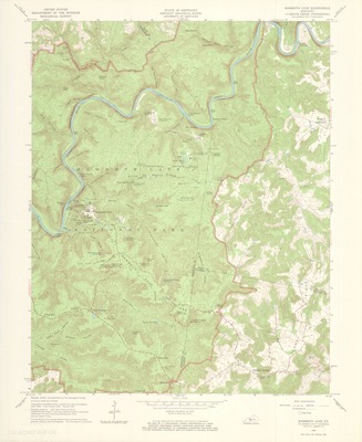
Title: Mammoth Cave quadrangle, Kentucky : 7.5 minute series (topographic)
Author: Geological Survey (U.S.), cartographer; Kentucky Geological Survey.
Edition: Revised 1965.
Subjects: Kentucky -- Maps; Edmonson County (Ky.) -- Maps; Hart County (Ky.) -- Maps; Barren County (Ky.) -- Maps; Topographic maps
Description: Scale 1:24,000
Publisher: Washington, D.C.: Geological Survey
Creation Date: 1967
Format: 1 map: color; 58 x 47 cm.
Source: University of Kentucky Libraries
Library Location: Science & Engineering Library, Gwen Curtis Map Collection, Kentucky - Mammoth Cave - 1965, Item Does Not Circulate
Curation Date
2019
