

Beyond the Bluegrass
Archived
This content is available here for research, reference, and/or recordkeeping.
Preview
Description
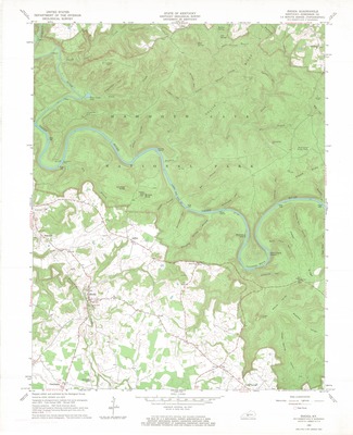
Author: Geological Survey (U.S.), cartographer; Kentucky Geological Survey.
Edition: Revised 1965.
Subjects: Kentucky -- Maps; Edmonson County (Ky.) -- Maps; Topographic maps
Description: Scale 1:24,000
Publisher: Washington, D.C.: Geological Survey
Creation Date: 1965
Source: University of Kentucky Libraries (not currently cataloged in InfoKat Discovery)
Library Location: Science & Engineering Library, Gwen Curtis Map Collection, Kentucky - Rhoda - 1965, Item Does Not Circulate
Curation Date
2019
